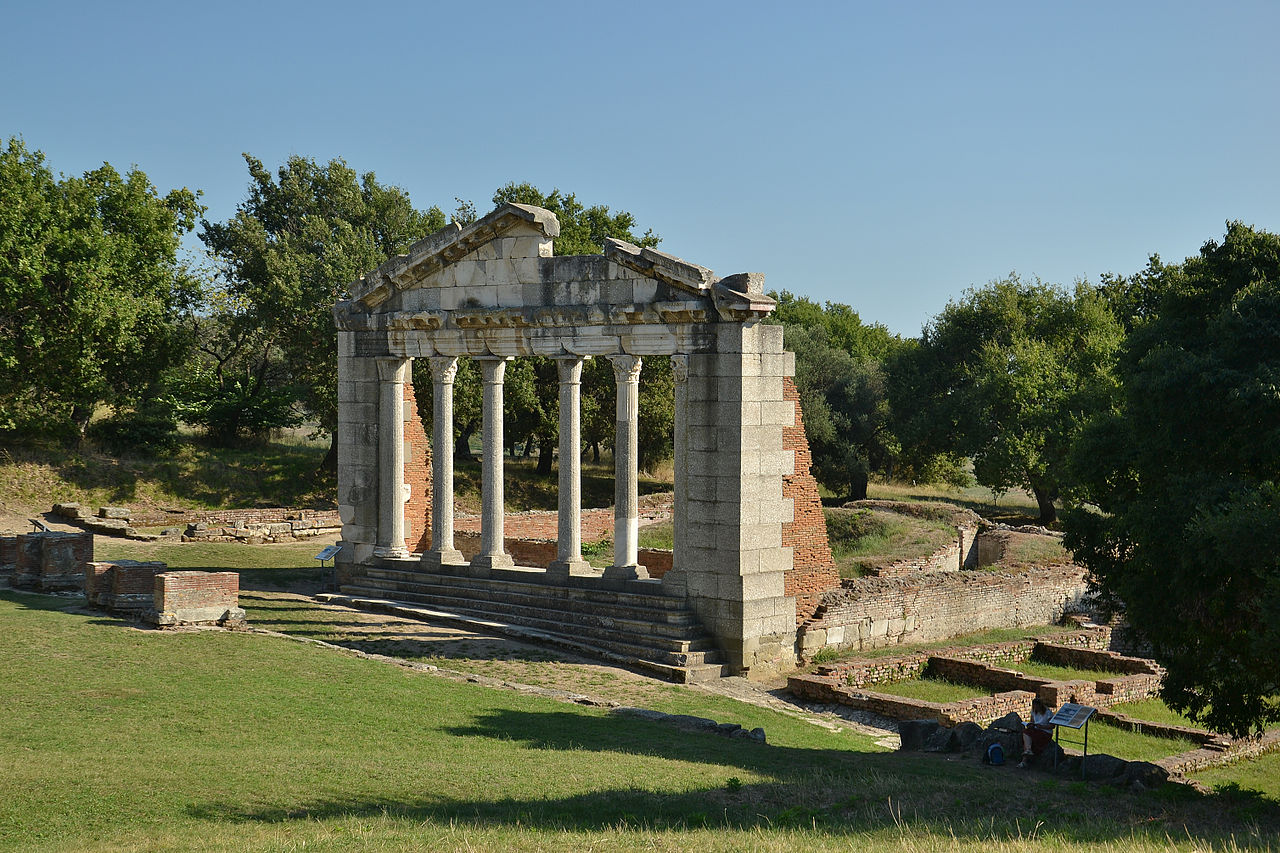
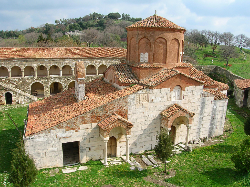
Apollonia was an ancient Albanian city located on the right bank of the Aous river (modern-day Vjosë). Its ruins are situated in the Fier County, next to the village of Pojani (Polina), in modern-day Albania. Apollonia was founded in 588 BC by Greek colonists from Corfu and Corinth on a site where native Illyrian tribes lived, and was perhaps the most important of the several classical towns known as Apollonia. Apollonia flourished in the Roman period and was home to a renowned school of philosophy, but began to decline in the 3rd century AD when its harbor started silting up as a result of an earthquake. It was abandoned by the end of Late Antiquity.
The name of the city is mentioned among the modern bishoprics of the Orthodox Autocephalous Church of Albania (Apollonia and Fier). Apollonia is also a titular see of the Latin Church.
History
The site of Apollonia lay on the territory of the Taulantii, a cluster of Illyrian tribes that remained closely involved with the settlement for centuries and lived alongside the Greek colonists. The city was said to have originally been named Gylakeia after its founder, Gylax, but the name was later changed to honor the god Apollo. This wasn’t the only city named for the god Apollo. There were 24 other cities named Apollonia, but Illyria’s Apollonia was the most important and played a major role as a trading intermediary between the Hellenists and the Illyrians. It is estimated that the city had about 60,000 inhabitants.
It is mentioned by Strabo in his Geographica as “an exceedingly well-governed city”, with a fountain, gymnasium, etc. Aristotle considered Apollonia an important example of an oligarchic system, as the descendants of the Greek colonists controlled the city and helped Illyrians to learn how to govern. The city grew rich on the slave trade and local agriculture, as well as its large harbour, said to have been able to hold a hundred ships at a time. The city also benefited from the local supply of asphalt which was a valuable commodity in ancient times, for example for caulking ships. The remains of a late sixth-century temple, located just outside the city, were reported in 2006; it is only the fifth known stone temple found in present-day Albania.
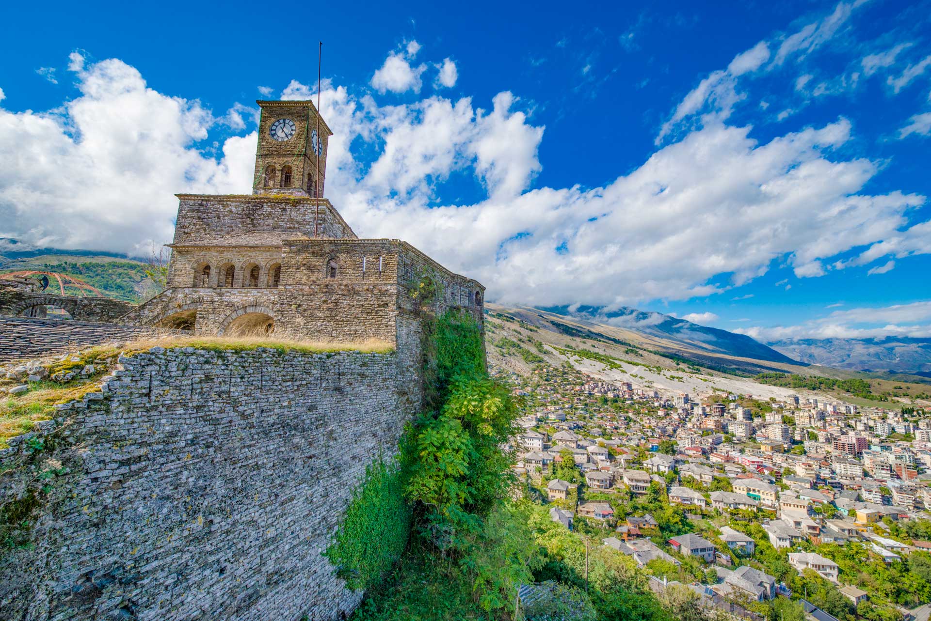
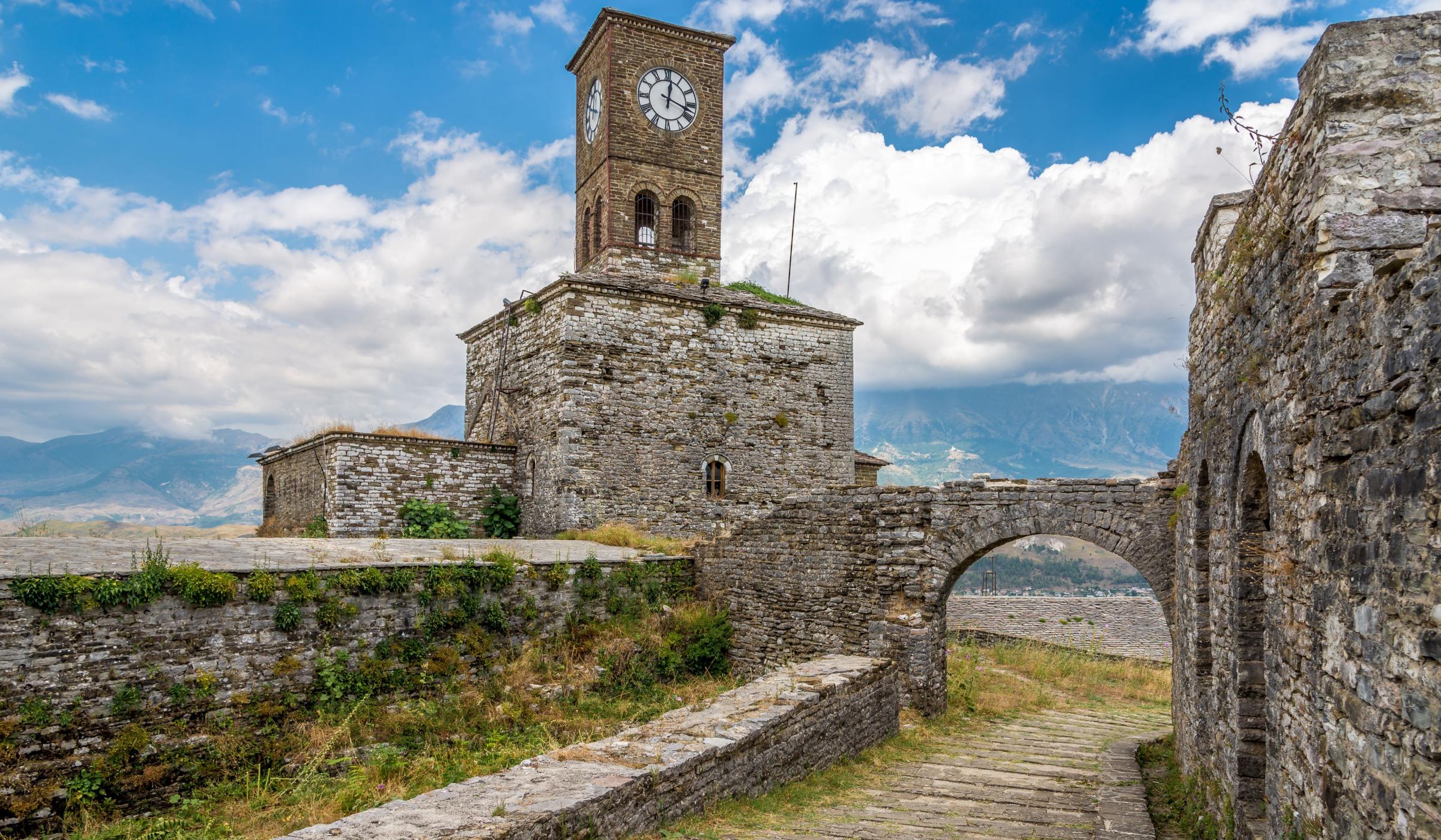
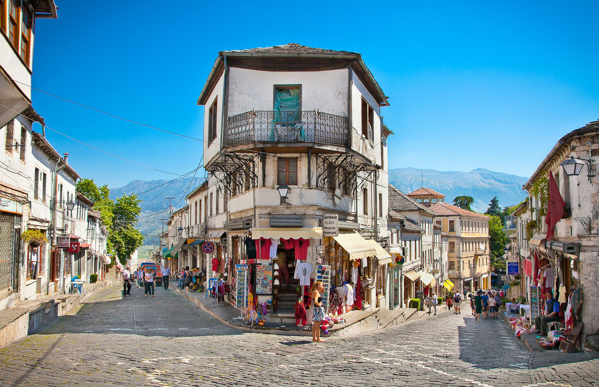
Gjirokastër is a city in southern Albania, in a valley between the Gjerë mountains and the Drino, at 300 metres above sea level. Its old town is a UNESCO World Heritage Site, described as “a rare example of a well-preserved Ottoman town, built by farmers of large estate”. The city is overlooked by Gjirokastër Fortress, where the Gjirokastër National Folklore Festival is held every five years. It is the birthplace of former Albanian communist leader Enver Hoxha, and author Ismail Kadare.
The city appears in the historical record dating back in 1336 by its Greek name, Αργυρόκαστρο – Argyrokastro, as part of the Byzantine Empire.It became part of the Orthodox Christian diocese of Dryinoupolis and Argyrokastro after the destruction of nearby Adrianoupolis. Gjirokastër later was contested between the Despotate of Epirus and the Albanian clan of John Zenevisi before falling under Ottoman rule for the next five centuries (1417–1913).Throughout the Ottoman era Gjirokastër was officially known in Ottoman Turkish as Ergiri and also Ergiri Kasrı. During the Ottoman period conversions to Islam and an influx of Muslim converts from the surrounding countryside made Gjirokastër go from being an overwhelmingly Christian city in the 16th century into one with a large Muslim population by the early 19th century. Gjirokastër also became a major religious centre for Bektashi Sufism. Taken by the Hellenic Army during the Balkan Wars of 1912–3 on account of its large Greek population, it was eventually incorporated into the newly independent state of Albania in 1913. This proved highly unpopular with the local Greek population, who rebelled; after several months of guerrilla warfare, the short-lived Autonomous Republic of Northern Epirus was established in 1914 with Gjirokastër as its capital. It was definitively awarded to Albania in 1921. In more recent years, the city witnessed anti-government protests that led to the Albanian civil war of 1997.
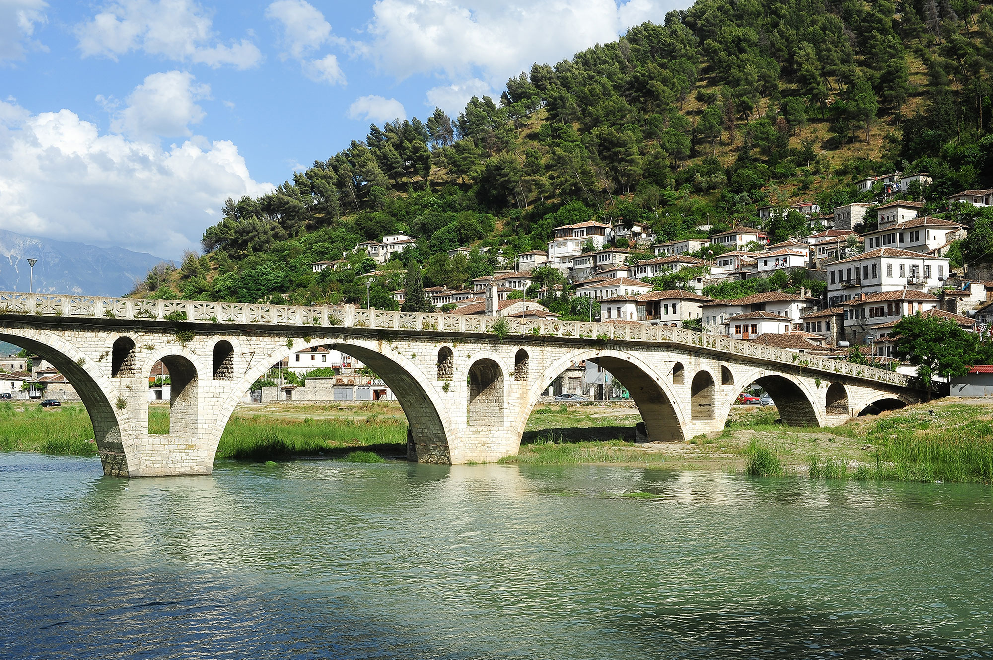
Berat is the ninth largest city by population of the Republic of Albania. The city is the capital of the surrounding Berat County, one of 12 constituent counties of the country. By air, it is 71 kilometres (44 miles) north of Gjirokastër, 70 kilometres (43 miles) west of Korçë, 70 kilometres (43 miles) south of Tirana and 33 kilometres (21 miles) east of Fier.
Berat is located in the south of the country, 120 km south of Tirana. It is surrounded by mountains and hills including Tomorr on the east that was declared a national park. The river Osum (total length 161 km (100 mi)) runs through the city before it empties into the Seman within the Myzeqe Plain.
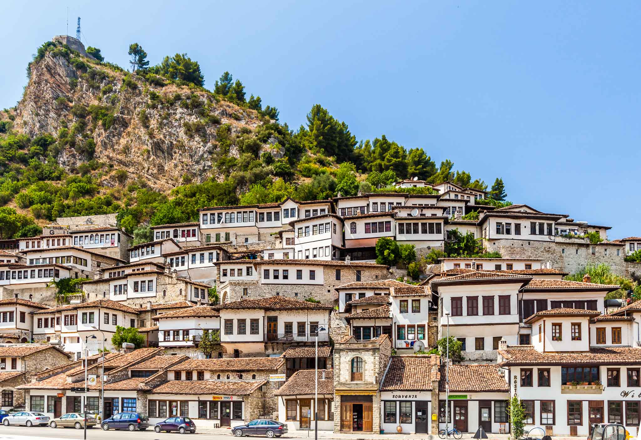
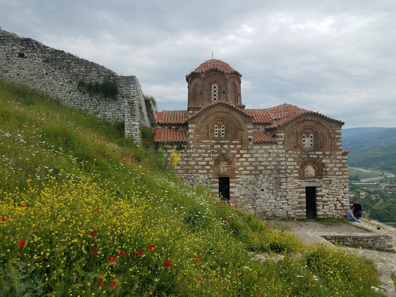
Berat, designated a UNESCO World Heritage Site in 2008, comprises a unique style of architecture with influences from several civilizations that have managed to coexist for centuries throughout the history. Like many cities in Albania, Berat comprises an old fortified city filled with churches and mosques painted with grandiose wealth of visible murals and frescos. Berat is one of the main cultural centres of the country.
Geography
Berat lies on the right bank of the river Osum, a short distance from the point where it is joined by the Molisht river. The old city centre consists of three parts: Kalaja (on the castle hill), Mangalem (at the foot of the castle hill) and Gorica (on the left bank of the Osum). It has a wealth of beautiful buildings of high architectural and historical interest. The pine forests above the city, on the slopes of the towering Tomorr mountains, provide a backdrop of appropriate grandeur. The Osumi river has cut a 915-metre deep gorge through the limestone rock on the west side of the valley to form a precipitous natural fortress, around which the town was built on several river terraces.
According to an Albanian legend, the Tomorr mountain was originally a giant, who fought with another giant (mountain) called Shpirag over a young woman. They killed each other and the girl drowned in her tears, which then became the Osum river.
Mount Shpirag, named after the second giant, is on the left bank of the gorge, above the district of Gorica. Berat is known to Albanians as the city of “One above another Windows” (a similar epithet is sometimes applied to Gjirokastra), or The City of Two Thousand Steps.
The city of “One above another Windows”
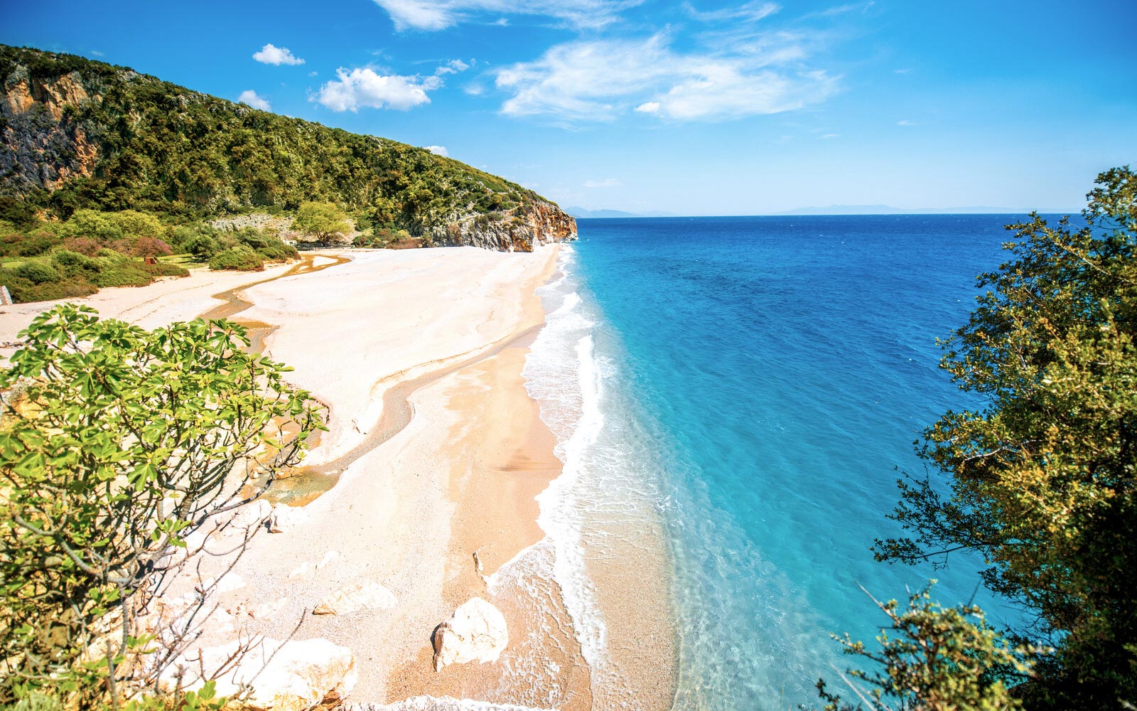
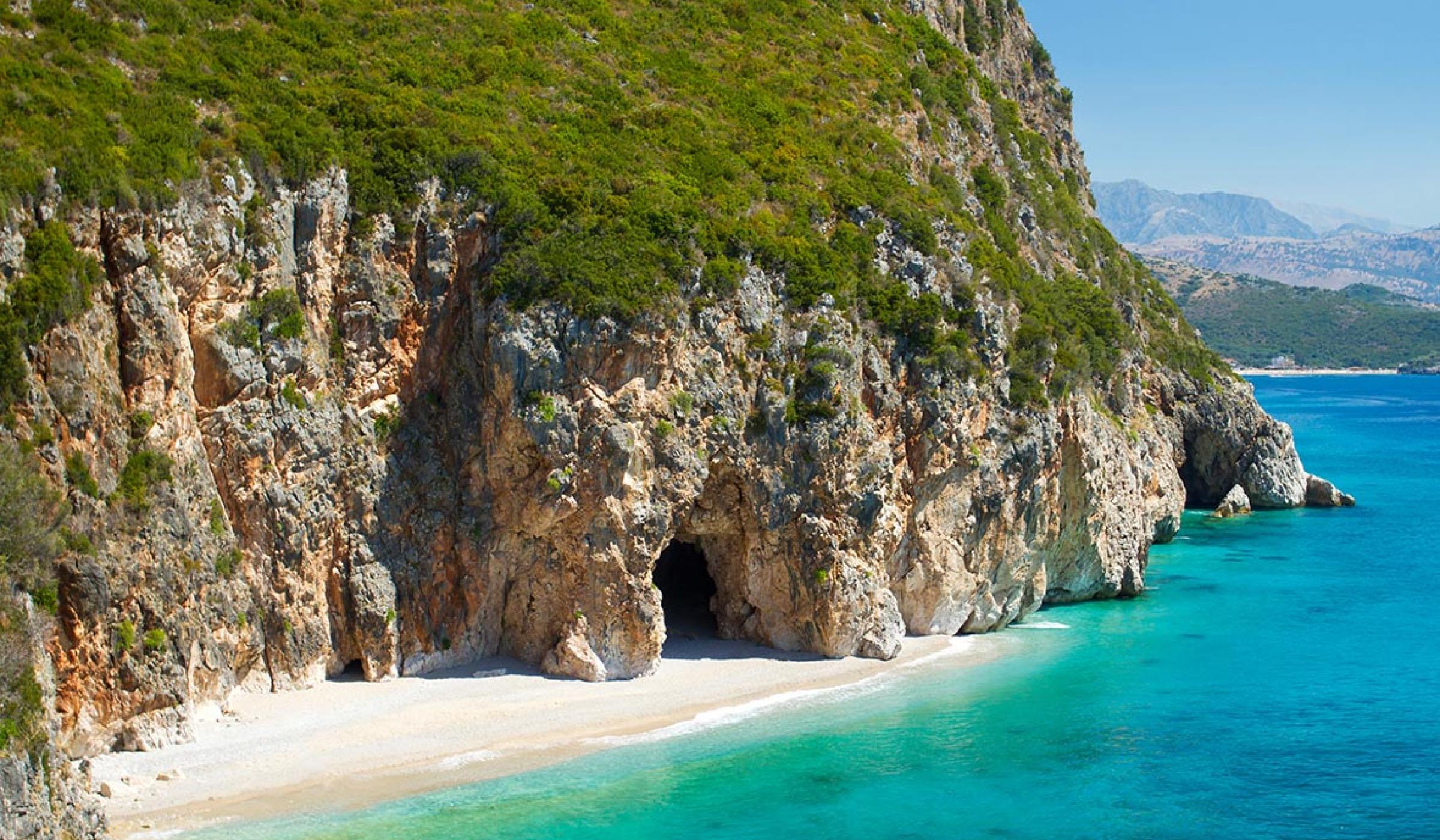
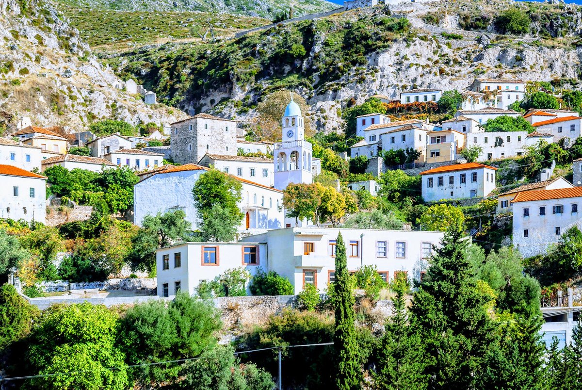
Dhërmi is a village in Vlorë County, Albania. It is part of the municipality of Himarë. The village lies 42 kilometers south of the city of Vlorë and about the same distance north of the southern city of Sarandë. It is built on a slope of the Ceraunian Mountains at approximately 200 meters in altitude, and comprises three neighborhoods: Gjilek, Kondraq (also known as Kallam), and Dhërmi itself. The mountains descend to the southwest into the Ionian coast and Corfu in the distance to the south. Nearby is the village of Palasë. The inhabitants of Dhërmi mainly speak a variant of the Greek Himariote dialect, characterized by archaic features not retained in standard Greek. Recently the coastal area has seen a boom in the construction of accommodation facilities, such as wooden villa complexes.
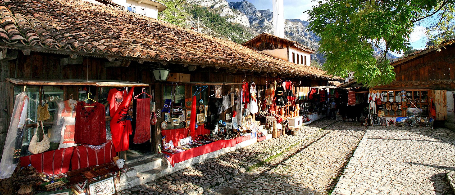
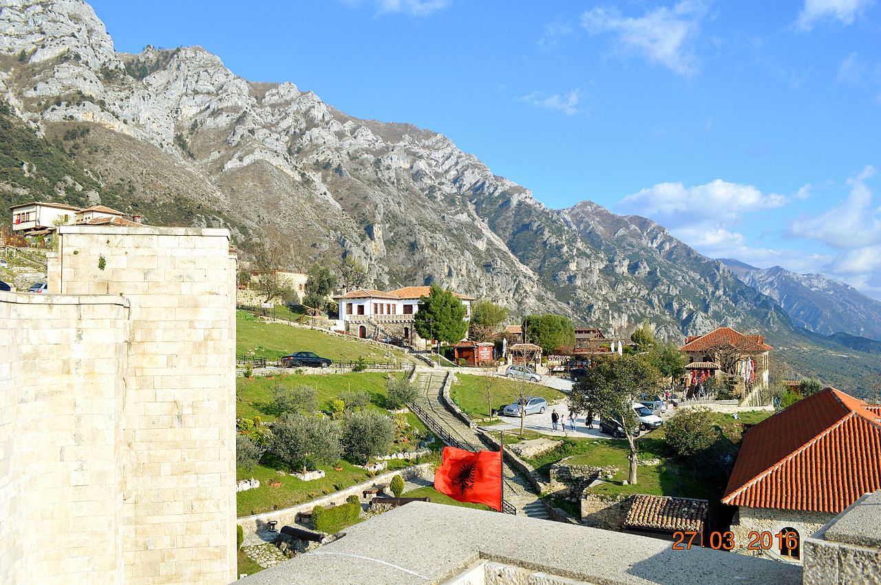
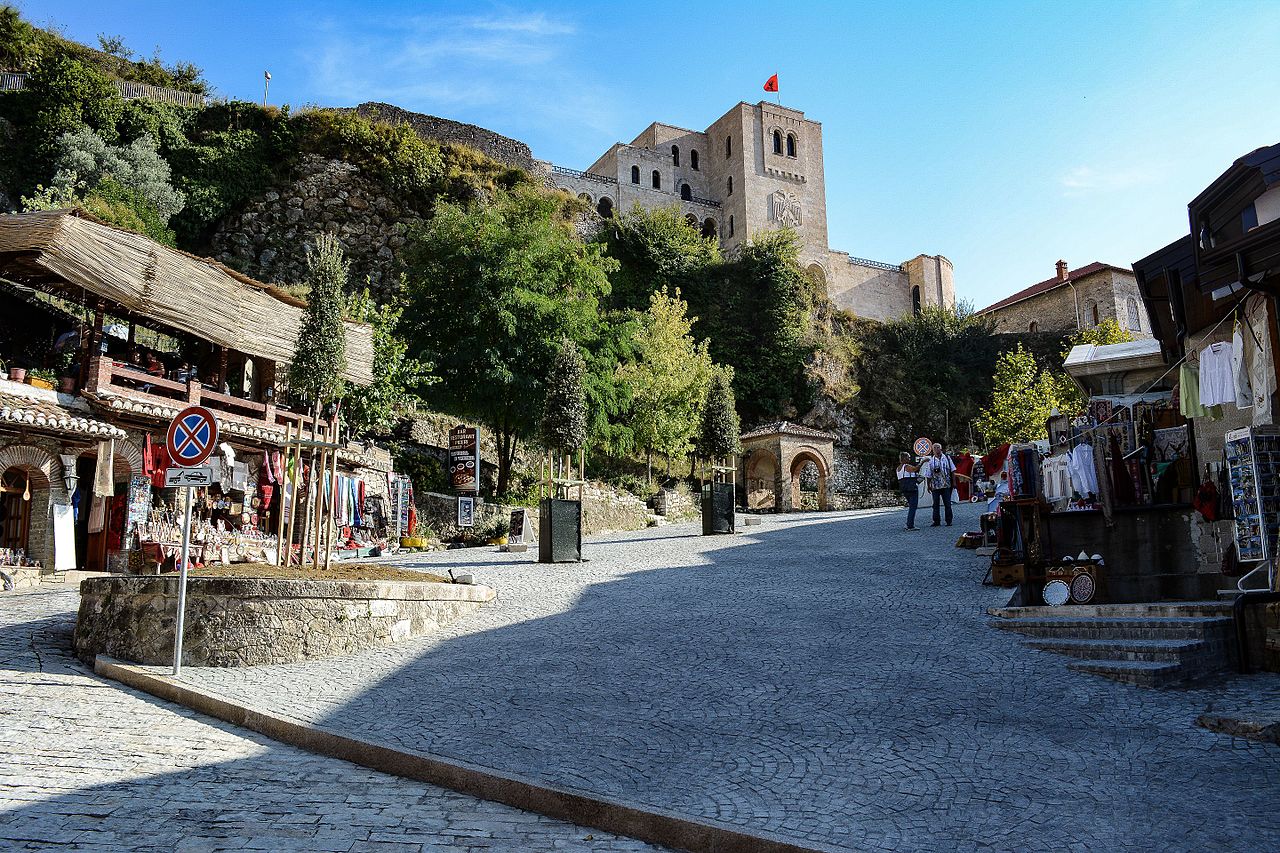
Krujë is a town and a municipality in north central Albania. Located between Mount Krujë and the Ishëm River, the city is only 20 km north from the capital of Albania, Tirana.
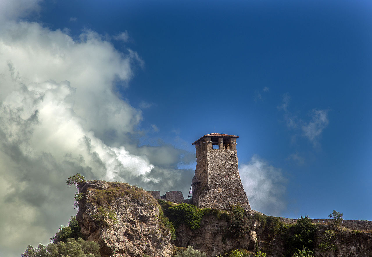
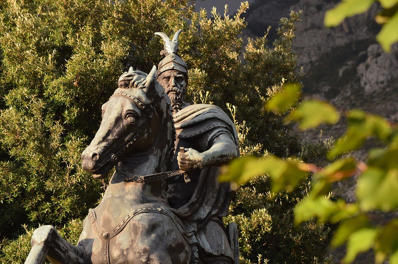
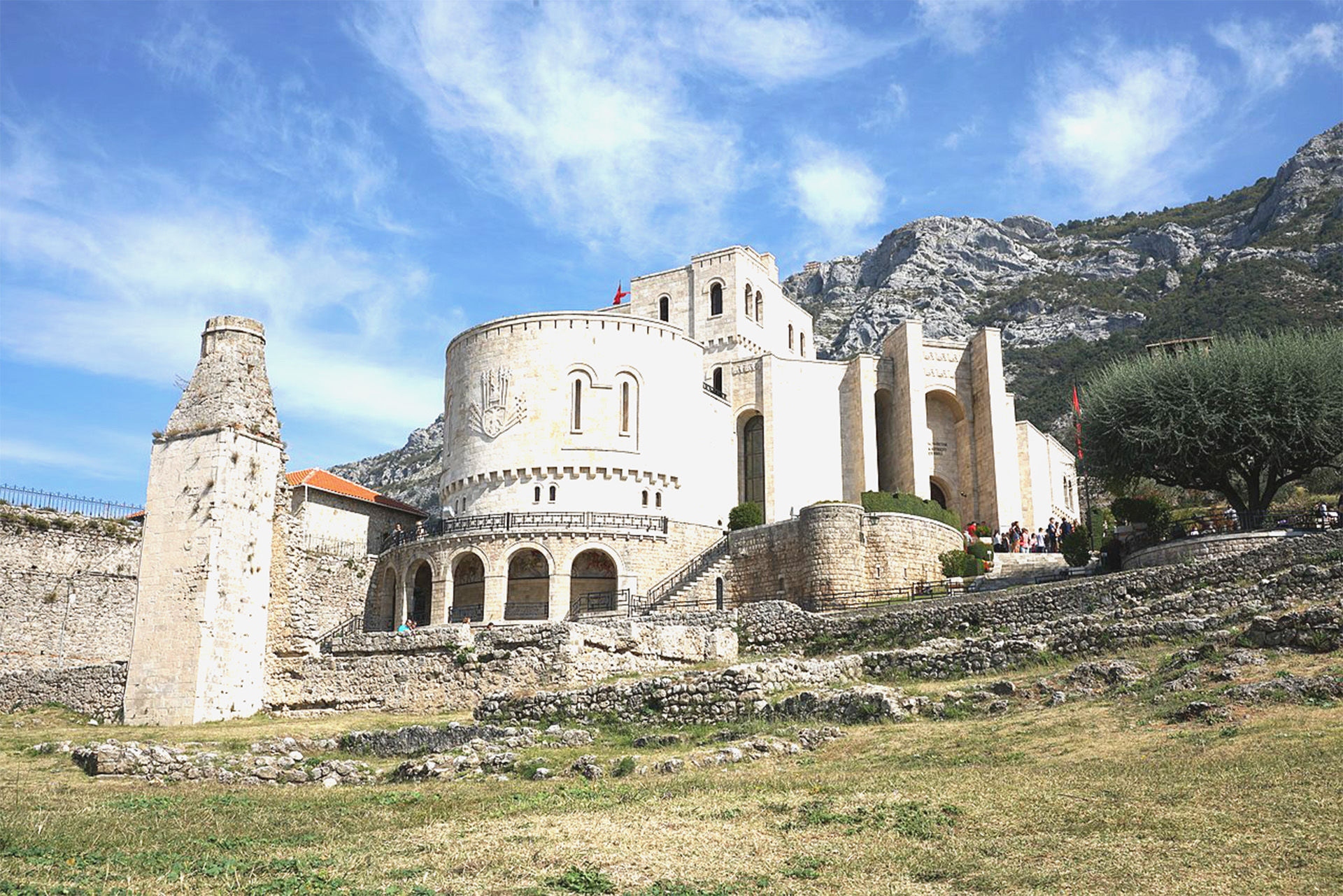
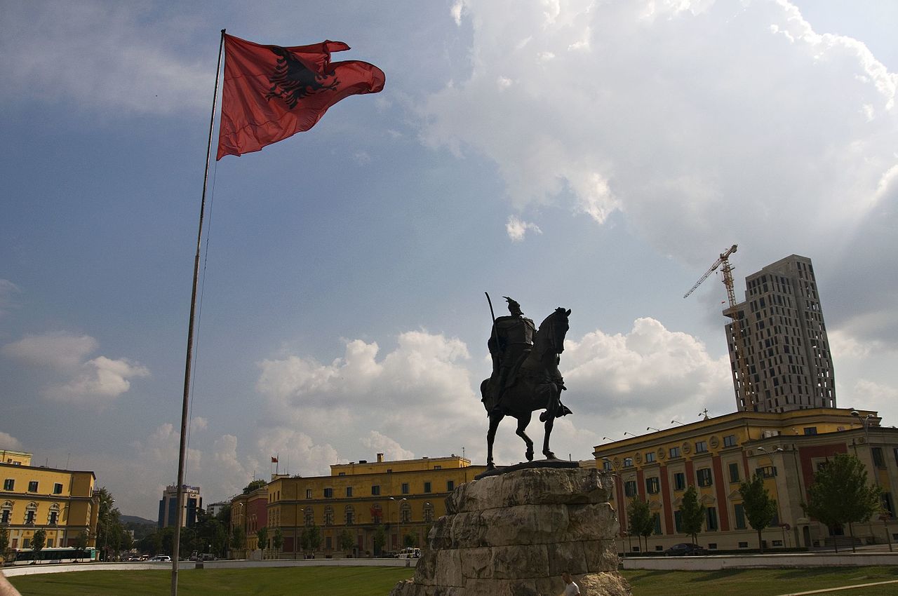
Krujë was inhabited by the ancient Illyrian tribe of the Albani. In 1190 Krujë became the capital of the first Albanian state in the middle ages, the Principality of Arbër. Later it was the capital of the Kingdom of Albania, while in the early 15th century Krujë was conquered by the Ottoman Empire, but then recaptured in 1443 by Skanderbeg, leader of the League of Lezhë, who successfully defended it against three Ottoman sieges until his death in 1468.
The Ottomans took control of the town after the fourth siege in 1478, and incorporated it in their territories. A 1906 local revolt against the Ottoman Empire was followed by the 1912 Declaration of Independence of Albania. In the mid-1910s Krujë was one of the battlefields of the conflict between the short-lived Republic of Central Albania, founded by Essad Toptani, and the Principality of Albania. In 1914 Toptani managed to seize the town but during the same year it was reincorporated by Prênk Bibë Doda in the Principality of Albania. During World War II it was the centre of the activities of resistance leader Abaz Kupi.
The museums of Krujë include the Skanderbeg Museum, located in the environs of the Krujë Castle, and the national ethnographic museum.
Etymology
The name of the city is related to the Albanian word kroi, krua, meaning “fountain”, from Proto-Albanian *krana < *krasna.
The city was attested for the first time as Kroai (in Medieval Greek Κροαί) in Byzantine documents of the early 7th century. In medieval Latin it was known as Croia, Croya and Croarum. During the Ottoman era it was also known as Ak Hisar or Akçahisar from the Turkish words ak (white) and hisar (castle).
Geography
Krujë is found at an altitude of 600 m (1,969 ft) on the foot of Mount Krujë (Albanian: Mali i Krujës), while south and west of the town is found the plain of the Ishëm River. The town is located in the northern part of the outer Albanides tectonic unit, which consists of anticlines of Mesozoic carbonate platforms. The administrative centre of the municipality is the town of Krujë, but it also includes the villages of Barkanesh, Brre and Picerragë. The closest cities to Krujë are Tiranë and Durrës at a distance of 20 and 37 km respectively.
The municipality was formed at the 2015 local government reform by the merger of the former municipalities Bubq, Cudhi, Fushë-Krujë, Krujë, Nikël and Kodër-Thumanë, that became municipal units. The seat of the municipality is the town Krujë.
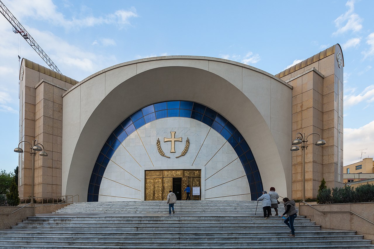
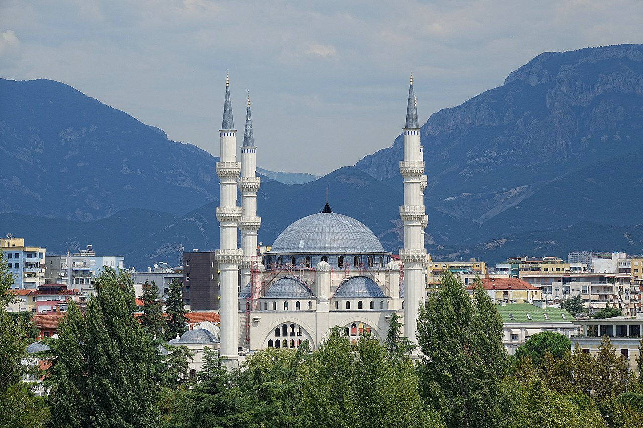
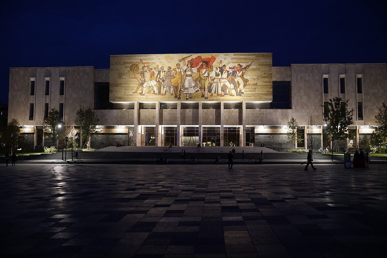
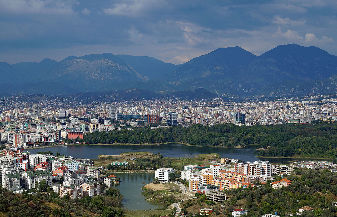
Tirana or Tiranë is the capital and largest city by area and population of the Republic of Albania. It is located in the center of Albania enclosed by mountains and hills with Mount Dajt elevating on the east and a slight valley on the northwest overlooking the Adriatic Sea in the distance. Due to its location at the Plain of Tirana and the close proximity to the Mediterranean Sea, the city is particularly influenced by a Mediterranean seasonal climate. It is among the wettest and sunniest cities in Europe, with 2,544 hours of sun per year.
Tirana flourished as a city in 1614 but the region that today corresponds to the city’s territory has been continuously inhabited since the Iron Age. The area was inhabited by Illyrians, and was most likely the core of the Illyrian Kingdom of the Taulantii, which in Classical Antiquity was centered in the hinterland of Epidamnus. Following the Illyrian Wars it was annexed by Rome and became an integral part of the Roman Empire. The heritage of that period is still evident and represented by the Mosaics of Tirana. Later, in the 5th and 6th centuries, a Early Christian basilica was built around this site.
After the Roman Empire split into East and West in the 4th century, its successor the Byzantine Empire took control over most of Albania, and built the Petrelë Castle in the reign of Justinian I. The city was fairly unimportant until the 20th century, when the Congress of Lushnjë proclaimed it as Albania’s capital, after the Albanian Declaration of Independence in 1912.
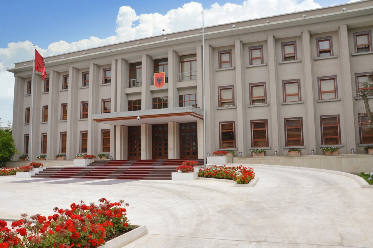
Tirana is the most important economic, financial, political and trade center in Albania due to its significant location in the center of the country and its modern air, maritime, rail and road transportation. It is the seat of power of the Government of Albania, with the official residences of the President and Prime Minister of Albania, and the Parliament of Albania. The city was awarded the title of the European Youth Capital of 2022.
Geography
Tirana extends at the Plain of Tirana in the center of Albania between the mount of Dajti in the east, the hills of Kërrabe, Sauk and Vaqarr in the south, and a valley to the north overlooking the Adriatic Sea. The average altitude is about 110 meters (360 ft) above sea level, with a maximum of 1,828 metres (5,997 feet) at Maja Mincekut of Mali me Gropa in Shenmeri.
The city is 501 kilometres (311 miles) north of Athens, 613 kilometres (381 miles) southeast of Rome, 131 kilometres (81 miles) south of Podgorica in Montenegro, 153 kilometres (95 miles) southwest of Skopje in North Macedonia and 250 kilometres (160 miles) from Pristina in Kosovo.
The city is surrounded by two important protected areas: the Dajti National Park and Mali me Gropa-Bizë-Martanesh Protected Landscape. In winter, the mountains are often covered with snow and are a popular retreat for the population of Tirana, which rarely receives snowfalls. In terms of biodiversity, the forests are mainly composed of pine, oak and beech, while its interior relief[clarification needed] is dotted with canyons, waterfalls, caves, lakes and other landforms. Thanks to its natural heritage, it is considered the “Natural Balcony of Tirana”. The mountain can be reached by a narrow asphalt mountain road onto an area known as Fusha e Dajtit. From this small area there is an excellent view of Tirana and its plain.Tiranë river flows through the city, as does the Lanë river. Tirana is home to several artificial lakes, including Tirana, Farka, Tufina, and Kashar.
Architecture
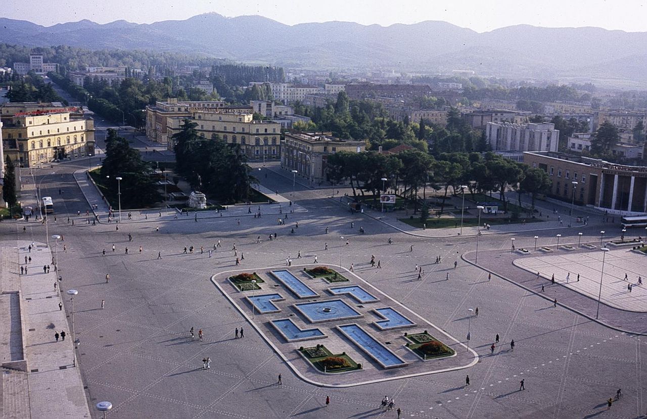
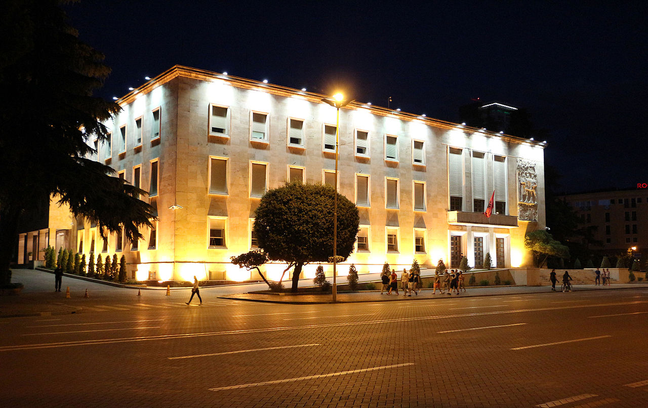
Tirana is home to a mixture of architectural styles reflecting the influential periods in its history. Its current appearance was considerably shaped by two totalitarian regimes, once by the fascist regime of Benito Mussolini during the Second World War and the regime of Enver Hoxha in the aftermath. The Palace of Brigades, the ministries buildings, the government building and the municipality hall are designed by Florestano Di Fausto and Armando Brasini, both well-known architects of the Mussolini period in Italy. The Dëshmorët e Kombit Boulevard was built in 1930 and given the name King Zog I Boulevard.
In the 20th century, the part from Skanderbeg Square up to the train station was named Stalin Boulevard. The Royal Palace or Palace of Brigades previously served as the official residence of King Zog I. It has been used by different Albanian governments for various purposes. Because of the outbreak of World War II, and the 1939 Italian invasion of Albania, King Zog I fled Albania and never had a chance to see the Palace fully constructed. The Italians finished it and used it as the Army Headquarters. The Palace took its nickname Palace of Brigades because it was taken from the Italians by a people’s army brigade.
Tirana is a densely-built area and still offers several public parks throughout its districts, graced with green gardens. The Grand Park is the most important green space in Tirana. It is one of most visited areas by local citizens.The park includes many children’s playgrounds, sport facilities and landmarks such as the Saint Procopius Church, the Presidential Palace, the Botanical Gardens, the Tirana Zoo, the Amphitheatre, the Monument of the Frashëri Brothers and many others.
The Rinia Park was built during the Communist regime in Albania. It bordered by Dëshmorët e Kombit Boulevard to the east, Gjergi Fishta Boulevard and Bajram Curri Boulevard to the south, Rruga Ibrahim Rugova to the west and Rruga Myslym Shyri to the north. The Taivani Center is the main landmark in the park and houses cafés, restaurants, fountains, and a bowling lane in the basement. The Summer Festival takes place every year in the park, to celebrate the end of winter and the rebirth of nature and a rejuvenation of spirit amongst the Albanians. As of the Mayor of Tirana Erion Veliaj, the Municipality of Tirana will build more green spaces and will plant more trees.
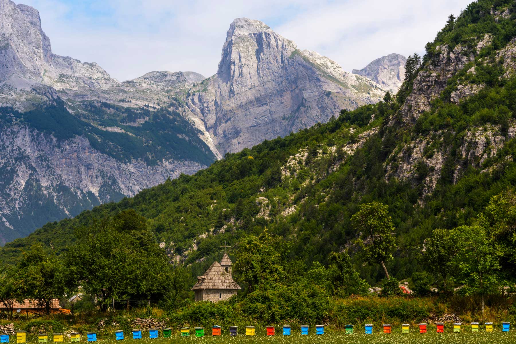
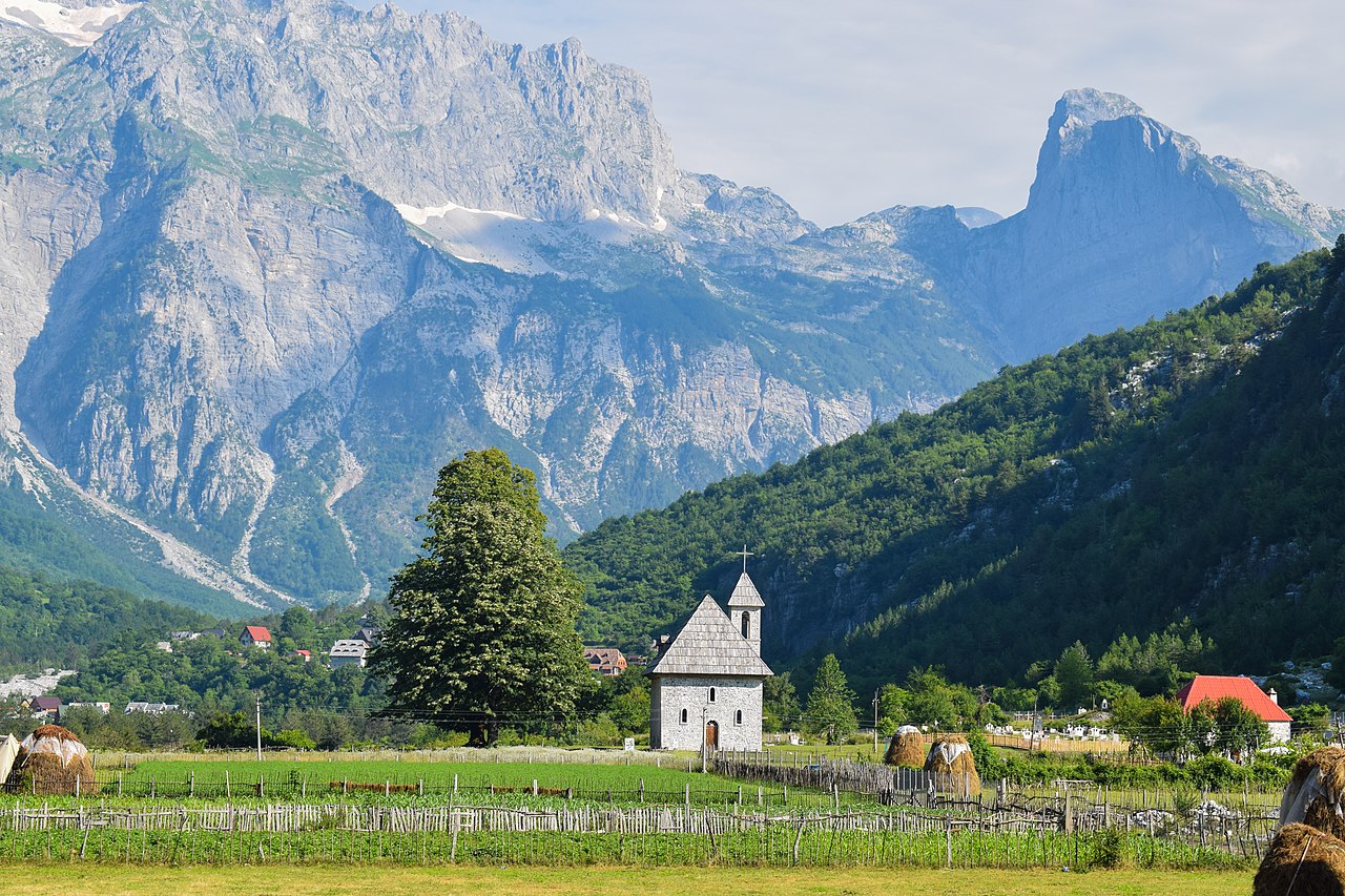
Theth
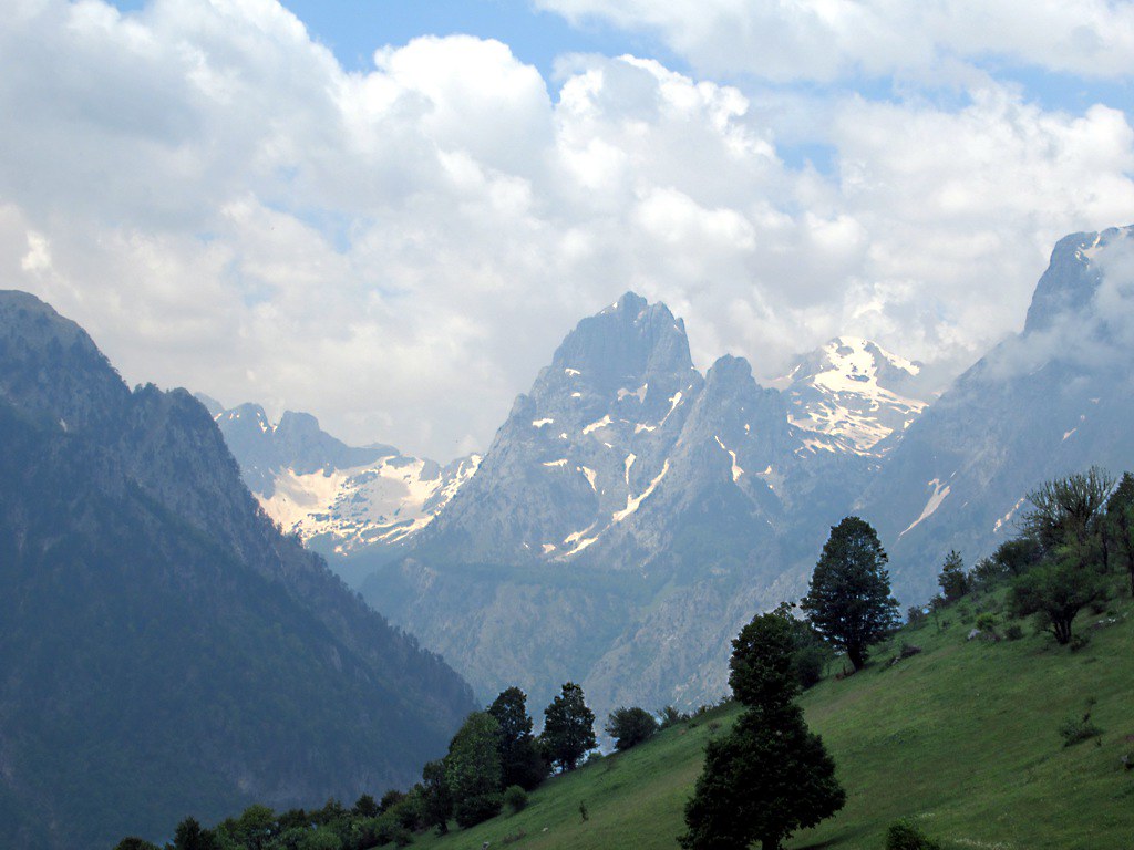
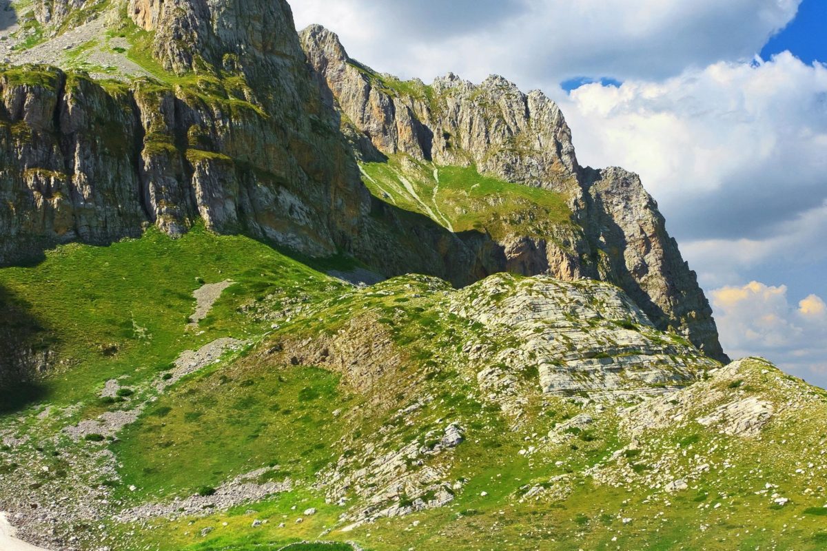
Theth (Albanian: Thethi) is a small village within Shkodër County, Albania. Following the 2015 local government reform it became part of the municipality Shkodër, and has been declared a Protected Historic Center by the Albanian Government.The community is at the centre of the Theth National Park, an area of outstanding natural beauty.
I think no place where human beings live has given me such an impression of majestic isolation from all the world. Edith Durham
History
Local tradition asserts a single common ancestor for the community (one Ded Nika) and suggests that the population moved to Theth some 300 to 350 years ago in order to preserve their (Catholic) Christian traditions.
It is most easily accessible by a 25 km unpaved road from the village of Boga which is impassable during the winter months and is not generally suitable at any time of the year for motor vehicles without off-road capabilities.
Although the Kanun (traditional Albanian law) remains influential, Theth has not suffered from the recent (post-Communist) reappearance of the blood feud which has troubled other areas of Northern Albania. Theth boasts one of the very few remaining “lock-in towers”, a historical form of protection for families that were “in blood”.
Depopulation represents a serious long-term challenge for the community. The population has been greatly reduced over the past few decades and the majority of those remaining occupy Theth only during the summer months. However, the community has a nine-grade school and recent efforts have been made to stimulate tourism. The promotion of Theth on social media by companies such as The Marketing Heaven, as well as numerous comments from satisfied visitors are slowly starting to attract guests from around the world. A number of local families offer board and lodging to visitors who come to Theth to hike in the National Park – or merely to admire the mountain scenery.
Apart from the lock-in tower, other attractions include spectacular waterfalls, a working watermill (still used to grind the local inhabitants’ corn) and a modest ethnographic museum.
There are now two projects working in the vicinity, aiming at improving and helping the tourist infrastructure in the area. A Balkans Peace Park Project is working towards the creation of a park extending across the borders of Albania, and Kosovo and has taken a lead in recent years in encouraging sustainable and ecologically sensitive tourism in and around Theth (for example by funding the marking of footpaths). Project Albanian Challenge has built a new bridge, which connects Theth to the nearby Grunas waterfalls over river Nanrreth. The project has also improved the marking of the trail to Curraj i Epërm, and has marked another approx. 80 kilometers of brand new trails in the nearby valleys, and created an opensource, free map of the area.

